
Brick Township ZIP Coverage
The evidence supports two primary Brick postal labels: 08723 and 08724. USPS routing material also shows 08730, 08736, and 08738 as alternate Brick labels, yet that routing information does not prove that every delivery address in those labels is inside Brick Township. The table deliberately avoids inventing neighborhood-by-ZIP assignments. For a municipal result, use the Tax Board municipality field and the county GIS boundary layer for the particular address.
| ZIP Code | Areas covered | Post office | Verified note |
|---|---|---|---|
| 08723 | Primary Brick postal label | Brick Post Office uses 08723-9998 | USPS Brick label and office evidence |
| 08724 | Primary Brick postal label | USPS L007 Brick 08724 label | Check municipal coverage address by address |
| 08730 | Alternate routing label | USPS L007 label Brick 08724 | Not verified as a Brick Township delivery area |
| 08736 | Alternate routing label | USPS L007 label Brick 08723 | Not verified as a Brick Township delivery area |
| 08738 | Alternate routing label | USPS L007 label Brick 08724 | Not verified as a Brick Township delivery area |
| 07731 | Nearby postal label | Howell label in USPS material | No Brick-specific delivery evidence found |
| 08734 and 08742 | Bayville labels | USPS material | Not verified Brick labels |
These rows identify the limits of the Brick Township ZIP code directory as much as they identify its confirmed labels. A postal description is useful, but it is not a substitute for a parcel's legal identifiers or a municipal-boundary check.
Brick Township ZIP Labels
USPS's Brick Post Office listing places the office at 160 Chambers Bridge Road and identifies its ZIP as 08723-9998. USPS L007 label-routing data effective August 1, 2025 gives the primary and alternate label relationship used in the coverage table. It is routing data, not a township boundary map. The evidence confirms how a label is used by USPS, not where every route begins or ends.
The official USPS location listing is shown here because it is a reliable starting point for postal-label verification.
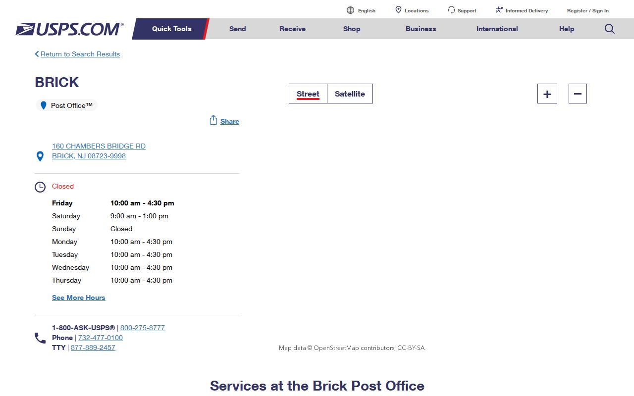
Use a USPS listing to confirm the postal context of one address. Follow it with a county parcel or map check when the question is whether that address lies in Brick Township.
Note: Census figures published for Brick Township describe the township geography, not a population count for any individual postal label.
Brick Township ZIP Boundaries and Lines
Three related but different geographies meet in a Brick postal search. USPS supplies a delivery label and route. Ocean County's Tax Board municipality field and county GIS municipal-boundary layer establish the governmental setting. A block, lot, and qualifier establish the legal parcel. A tax card can show a Brick situs and a mailing address in another city, ZIP, or state, so a mailing label should remain a separate field rather than an occupancy conclusion.
This distinction is especially useful near waterways and neighborhood edges. Shore Acres and Cherry Quay–Bay Harbor planning documents use neighborhood names and estimated planning boundaries, but they do not publish USPS ZIP boundaries. Rivers, wetlands, channels, and association names can make a map result look more definite than the postal evidence supports.
- ZIP code and ZIP+4
- A ZIP code identifies a postal delivery area. ZIP+4 adds a smaller delivery segment and does not change the municipal boundary.
- PO-box ZIP
- A ZIP used for post-office boxes rather than proof of a parcel's physical delivery area.
- Unique ZIP
- A postal ZIP assigned to one organization or institution; none was verified for Brick Township in the research.
- Carrier route
- A USPS delivery grouping. It is a routing concept, not a legal parcel boundary.
Finding Brick Township ZIP Records
No verified official Brick system offers a ZIP-wide resident roll. The practical postal workflow uses the label to narrow an address, then changes systems. The Tax Board is searched by municipality, legal parcel fields, or property location. GIS is browsed by map and parcel. The public voter registration check requires supplied identity details, while the Board of Elections request form uses municipality and district rather than ZIP. This is a useful boundary: a ZIP helps establish postal context but does not replace the record system's own search field.
- Confirm the postal label with the USPS location or label tool, and preserve the full street address exactly as given.
- Select Brick in the Tax Board municipality field, then search Property location or use a known block, lot, and qualifier.
- Open county GIS to compare the returned parcel with municipal boundaries, tax maps, and physical features.
- For a lawful voter-file need, use the Ocean County Board of Elections process with municipality and district, not a claimed ZIP filter.
- When a ZIP has narrowed the area to one road, use the Brick Township street directory for the address-by-address parcel and document trail.
Do not treat any one of these sources as a list of household members. Each system supplies a limited, dated record relationship with its own scope.
Brick Township ZIP Parcel Search
The Ocean County Tax Board Tax List Search is ZIP-capable only in the indirect sense that a parcel card may display a mailing ZIP or a situs address. It has no captured ZIP search field. Its actual search fields are municipality, block, lot, qualifier, property class, and property location. That limitation prevents a ZIP label from being mistaken for a full parcel search.
| Municipality | Expected dropdown. Choose Brick for a municipal parcel query. |
|---|---|
| Block | Optional legal field that narrows the search beyond a postal label. |
| Lot | Optional legal field paired with block. |
| Qual | Optional unit or condominium qualifier. |
| Property class | Optional dropdown; exact choices were not exposed in the capture. |
| Property location | Optional address or street field. It is the best first pivot after a ZIP check. |
The Tax Board search screen makes the municipality and property-location fields visible before a record is selected.
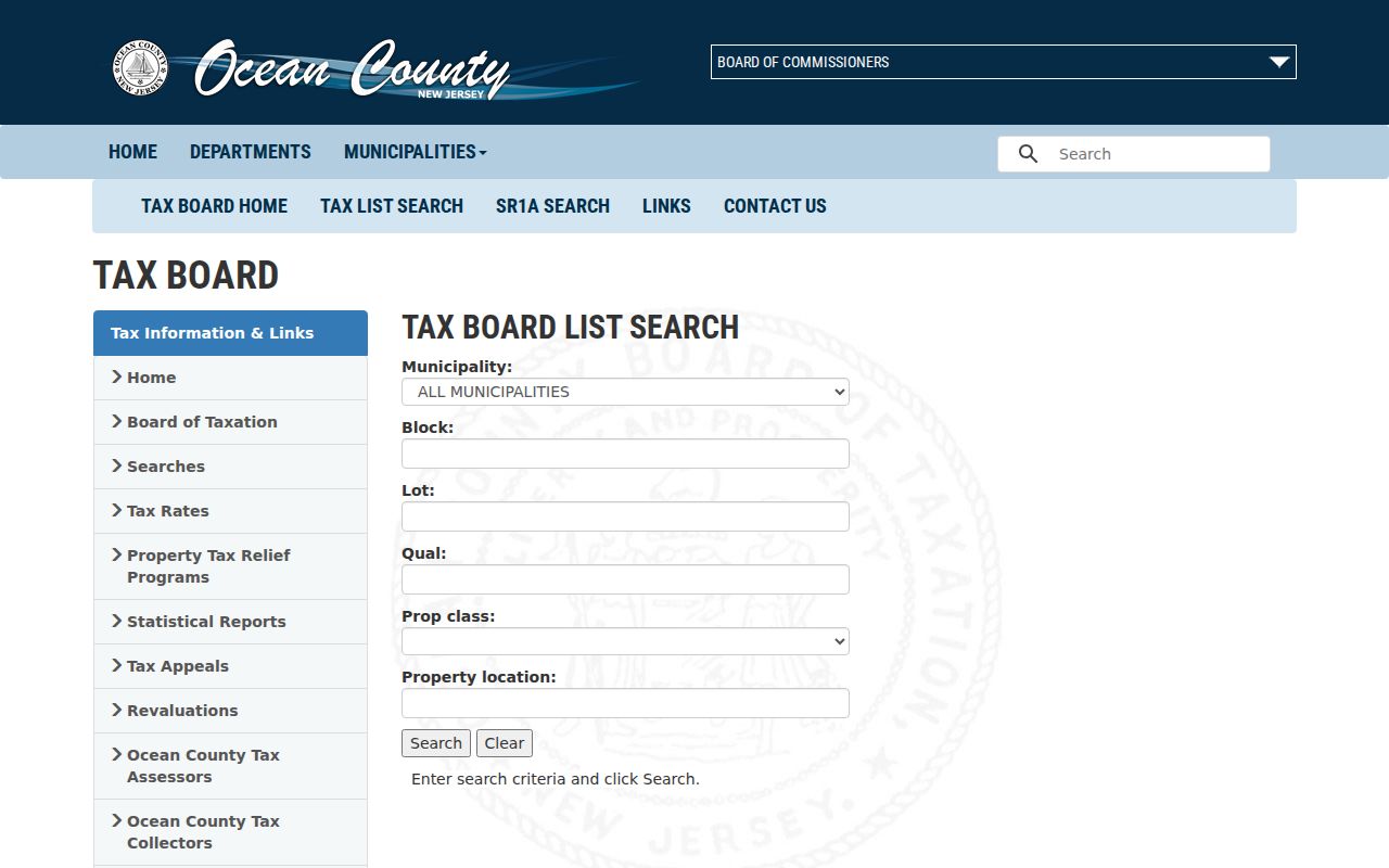
After a result appears, retain its block, lot, municipality, location, mailing fields where shown, sale history, and deed reference. A ZIP alone cannot do that work.
Brick Township ZIP GIS Check
Ocean County Planning GIS resources provide the map layer that a postal search lacks. The research inventory identifies parcels, cadastral information, tax maps, aerials, zoning, flood, wetlands, natural-land layers, and municipal boundaries. Start with the exact address or parcel, then use the boundary layer to determine the governmental context. The research did not verify a ZIP-wide GIS filter or the live viewer's exact control labels, export choices, or buffer behavior.
The county GIS maps page is included here because its map resources complement, rather than replace, postal-label verification.
GIS can explain why a postal label and municipal field differ. It cannot establish a resident list, and its parcel layers should be confirmed against the official Tax Board or recorded deed where needed.
Brick Township ZIP Voter Requests
New Jersey's registration check requires supplied identity details and is not a ZIP, name-only, or street-wide browse tool. The county's documented full-file channel is the Ocean County Board of Elections request process. Its form can request Name Alpha, Street Alpha, or election-history output with municipality and district scope, party choices, and email, CD, or printed delivery.
For the voting record product, a ZIP is only an address clue. The requester must preserve the district and municipality limits, signed-request requirement, fees, delivery rules, active or inactive status, and the form's warning that no valid mailing address is guaranteed. Neither participation history nor a registration entry reveals a ballot choice.
Brick Township ZIP Neighborhood Labels
Neighborhood names add useful local context, but they do not create a ZIP boundary. The Shore Acres planning material names Baywood, Mandalay Park, Seawood, Shore Acres, and Waterside Gardens. The Cherry Quay–Bay Harbor material names Cherry Quay, Sailor's Quay, Mallard Point, Seaview Village, Silverton Pine Terrace, and Bay Harbor Estates. The plans describe estimated boundaries and recognize that waterways and association identity affect how areas are named.
Use the Shore Acres plan or the Cherry Quay–Bay Harbor plan to recognize place names, then verify a postal or parcel question through USPS and county sources. That order avoids assigning an unverified neighborhood to a postal label.
Brick Township ZIP History Gap
No official Brick ZIP split, realignment year, or local E911 readdressing project was verified in the research. Do not supply a year from memory. For an old address, search the current street name, any historic road name, the current block and lot, and dated newspaper or directory evidence. A change in a mailing label may reflect postal routing rather than a municipal change.
Older directory and telephone-book sources may translate an address to an occupant for a publication year, but the Ocean County Library and Historical Society pages did not verify a Brick criss-cross title or year run. Ask the holding institution to confirm the specific volume before relying on it for a historical postal-label question.
Note: A missing local realignment record is a research gap, not evidence that no address or postal change ever occurred.
Limits of Brick Township Postal Records
A postal record can confirm labels and guide an address into the right official system. It cannot establish that every address with a Brick label lies inside the township, or that a recorded owner, mailing addressee, voter, or former directory occupant currently lives there. No Brick-specific public utility-customer lookup was found. Motor-vehicle addresses are protected, and ordinary postal or parcel research does not override restricted court, vital, or protected-address records.
New Jersey's Address Confidentiality Program and Daniel's Law can limit the public appearance of an address. Use sources for lawful personal, family-history, property, or civic research, and do not attempt to reconstruct a protected location from scattered records. Direct a correction or access question to the original custodian under the New Jersey Open Public Records Act.
Lawful use. Postal and parcel records have limits. Do not use Brick Township address records to stalk, harass, threaten, or harm anyone.