
Brick Township Neighbors by Block
The public trail around a Brick Township address is split between map geometry, parcel fields, recorded documents, and voluntary community contacts. Each source has a different reach. The parcel tools can identify land around the target. Recorded deeds can show parties to a filing. An election request can produce a limited registration output. None of those sources creates a verified list of every person who lives nearby.
| Source | What It Shows About a Block | Access |
|---|---|---|
| County GIS | Adjacent parcels, roads, easements, and map layers | Public viewer or download; live control labels were not verified. |
| Tax Board | Each parcel’s block, lot, location, assessment, and sale fields | Search by municipality, block, lot, qualifier, or property location. |
| Deed index | Recorded parties and legal links for a parcel | Online index from April 1, 1977; older research needs a counter or archive. |
| BOE Street Alpha | Requested registration output by street and district | Signed OPRA request, stated fees, formats, and use restrictions. |
| Neighborhood plans | Named sub-neighborhoods and estimated planning boundaries | Township planning PDFs. |
| Associations and Chamber | Public join, event, organization, or contact details | Voluntary sources; no public membership roll observed. |
Start with the physical block, then add a record only when it answers the next question. A tax mailing field is not proof that the owner occupies the parcel. Likewise, a community contact page can show a public organization, but it does not identify all neighbors in that area.
Map a Brick Township Block
The adjacent-parcel method begins with the target lot, not with a name. Keep the municipality, block, lot, qualifier, situs address, mailing address, and postal label in separate notes. That makes it possible to check a map result against the Tax Board without treating one address field as a substitute for another.
- Open the county map, find the target street, and identify the parcel geometry and legal parcel identifiers.
- Pan across the road and along each shared edge, noting parcels that touch the target and those separated by water, a right-of-way, or an unbuildable strip.
- Run the Tax Board search for each identified parcel, beginning with Brick as the municipality and then using location or block and lot.
- Use the recorded-document index only when a dated owner or legal connection needs confirmation, and retain the document date beside the name.
For a whole named street and its longer deed trail, use the Brick Township street directory. The block method stays focused on immediately surrounding parcels rather than rebuilding a street-wide chain.
Brick Township GIS Layers for Neighbors
Parcel outlines alone can mislead. Ocean County GIS layers add cadastral context, tax maps, aerial imagery, zoning, FEMA flood zones, wetlands, streams, subdivisions, natural lands, and municipal boundaries. Those layers help explain why a parcel that looks close in a mailing address may be physically divided by a channel, roadway, easement, or wetland. They do not identify household members.
The manifest image comes from the Ocean County GIS maps landing page, which routes to the county’s interactive maps and ArcGIS Hub. The research did not verify exact identify, buffer, select, export, or radius controls, so the workflow is deliberately based on clicking and comparing visible parcels rather than on unconfirmed tool labels.
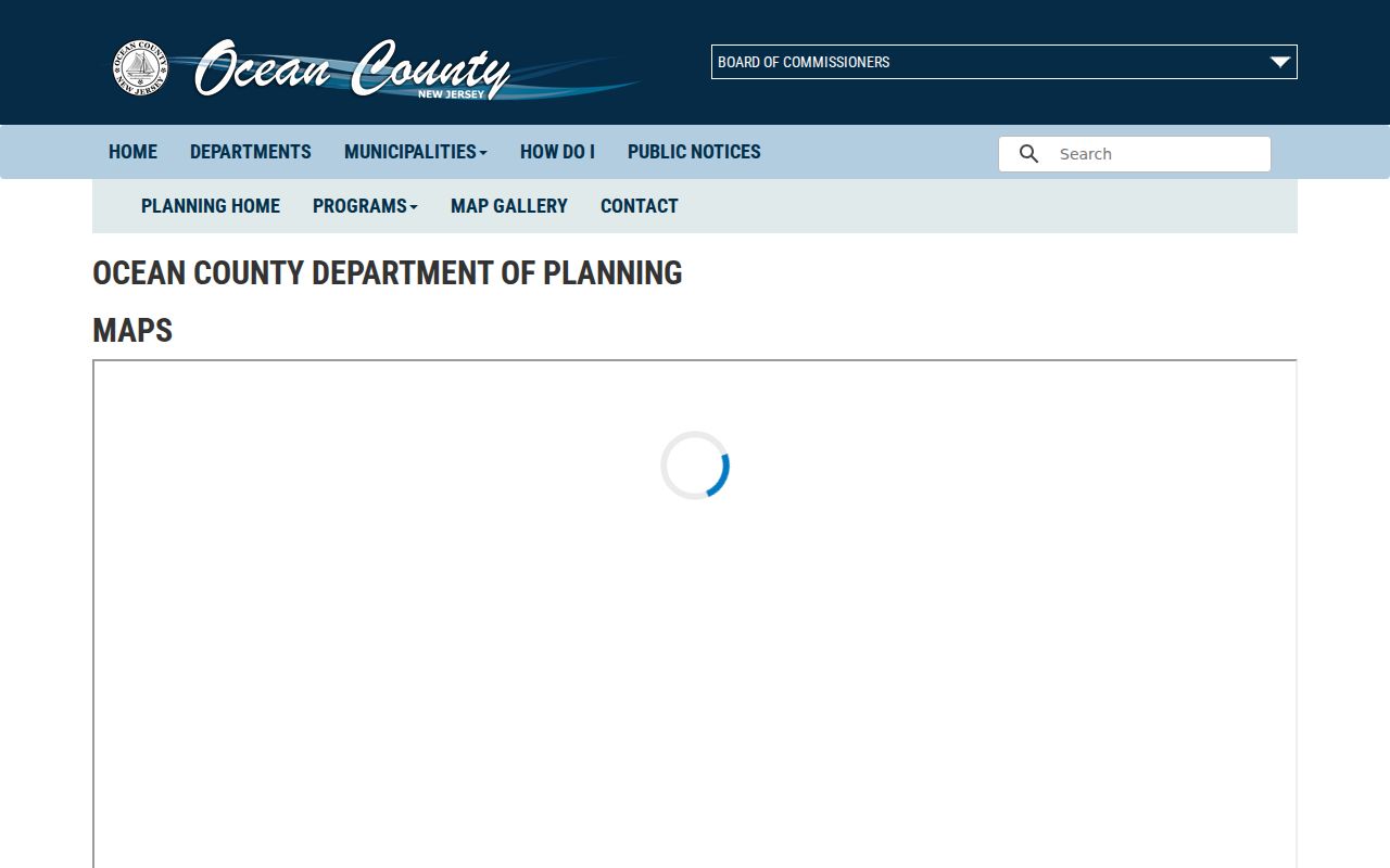
Use aerial and tax-map context to separate a true physical neighbor from a parcel that is only nearby on a list. The county GIS supplies spatial context; the Tax Board and Clerk remain the official record sources for the parcel fields and recorded documents.
Brick Township Parcel Cards One at a Time
The Ocean County Tax Board Tax List Search is parcel-keyed. Its verified fields are Municipality, Block, Lot, Qual, Property class, and Property location, with SR1A Search and MOD IV Labels tabs. Select Brick where the municipality is known. If a street spelling does not resolve, try the location field without a directional or suffix, then use the map or a known block and lot.
A parcel card can show location, owner or mailing information when displayed, assessment history, building information, sale history, map data, and a deed book or page. Save the physical situs and tax mailing values separately. A mailing address may be in another municipality, ZIP, or state, so it is a contact clue rather than proof of who occupies the Brick Township parcel.
- Situs address
- The physical location of the parcel.
- Block and lot
- Legal parcel identifiers used to find the tax record and connect it to deeds.
- Qualifier
- An additional identifier that can distinguish a condominium or unit.
- Parcel geometry
- The mapped shape and position of land, useful for seeing adjoining lots.
Brick Township Voter Requests by Street
New Jersey’s online registration check is for a supplied identity. It cannot browse a block or return the people on a street. For a narrowly described public-file need, Ocean County’s Board of Elections offers a signed OPRA criteria form. The form provides Name Alpha, Street Alpha, and election-history choices, plus municipality, district, party-filter, output, and delivery fields. A Street Alpha request is a records transaction, not a live household roster.
County materials state email delivery has no fee, CD delivery is $0.50, letter pages are $0.05, and legal pages are $0.07. Formats can be comma-delimited text, PDF, or Excel .xls. The form says seven business days; the county page says 7 to 10 working days and notes election-cycle delays. The request should stay as narrow as the question permits, and the output needs its active, inactive, protected, and mailing-address caveats preserved.
Note: The voter criteria form warns that a valid mailing address is not guaranteed and bars commercial or charitable solicitation under N.J.S.A. 19:31-18.1C.
Brick Township Neighbors and Postal Labels
A Brick postal label is not a municipal boundary. The county GIS boundary layer and Tax Board municipality field establish the governmental and parcel context. USPS establishes delivery routing labels. A parcel can have a Brick situs, an out-of-town mailing address, and a ZIP label that does not prove the parcel lies within the township line. Keep all three descriptions rather than choosing one as the whole answer.
USPS identifies 08723 and 08724 as Brick’s verified primary labels. Its L007 routing data also lists 08730, 08736, and 08738 as alternate Brick labels, but the research did not verify them as Brick Township delivery areas. Shore Acres and Cherry Quay–Bay Harbor planning names are similarly useful for local context, yet they are not postal-boundary rules. Compare the address to county map layers before treating a nearby postal label as a physical-neighbor relationship.
Brick Township Neighborhood Names
Brick’s neighborhood geography is unusually important for a block lookup. The Shore Acres plan names Baywood, Mandalay Park, Seawood, Shore Acres, and Waterside Gardens. The Cherry Quay–Bay Harbor plan names Cherry Quay, Sailor’s Quay, Mallard Point, Seaview Village, Silverton Pine Terrace, and Bay Harbor Estates. Those names help interpret planning documents, association pages, and historical references.
They are not fixed resident rolls. The plans say some areas identify as associations and some do not. Estimated boundaries can be separated by rivers or wetlands, so two nearby parcels may use different neighborhood names. This geography is the reason an official map should precede any conclusion about Brick Township neighbors.
Brick Township Community Contacts
Community pages add an opt-in layer to a Brick Township neighbors search. They are useful for public events, joining, and organization contacts, but none substitutes for parcel evidence. The research found public contact or join information, not public member rosters. That distinction keeps a community directory from becoming a claim about who lives on a particular parcel.
Cherry Quay Association
Established in 1959 and incorporated in 1968, with public join, officer, and membership-information routes. The association describes a bayfront beach, boat ramp, and playground, but no public membership directory was observed.
Greenbriar Association
Public community contact: 1 Darley Circle, Brick, NJ 08724, 732-458-3700. The research found community events and a contact, not a membership roster.
Brick Chamber organizations
Public listings include American Legion Post 348, Brick PAL, Brick Morning Rotary, Women’s Club, Lions, and other organizations. A listing establishes a public organization contact, not its individual membership.
The Cherry Quay Association public page is the source of this assigned community image and its public join/contact layer.
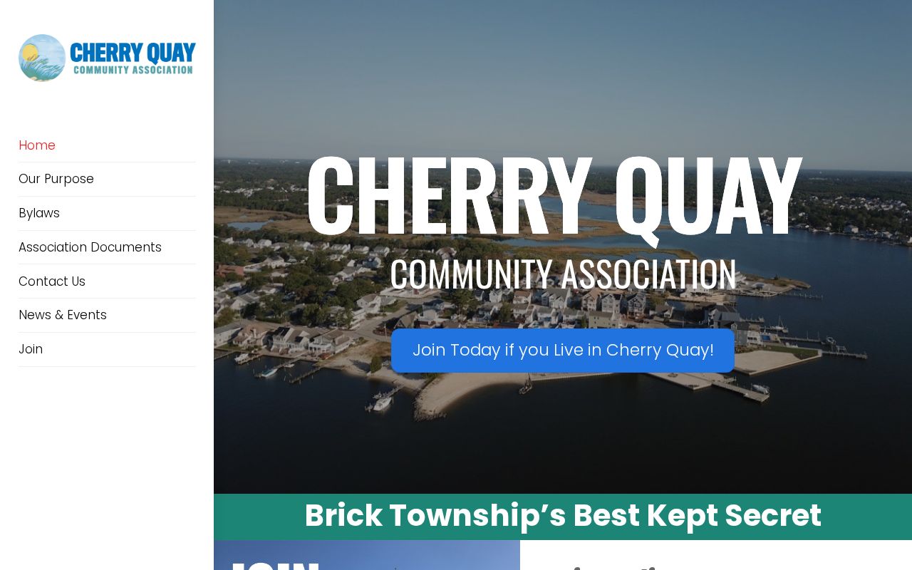
The association image supports the distinction between a public community route and a private roster. It can help someone find an official contact without asserting that a particular resident belongs to the association.
The Brick Chamber directory entry point supplies the second assigned community image and a broader organization map for Brick Township.
Use an organization’s stated address or contact only for the organization. The Chamber image does not establish where an officer, volunteer, or member lives.
Brick Township Property Alerts
Ocean County’s free Property Alert adds a future-facing safeguard to a parcel search. Registration can use all name variations or the municipality, block, and lot description. It is useful after identifying the target parcel because it alerts the registrant to later filings that match the selected terms. It does not provide a list of neighbors or establish occupancy.
The assigned capture comes from the Ocean County Property Alert registration page. Its workflow belongs after the parcel identifiers have been confirmed, not before.
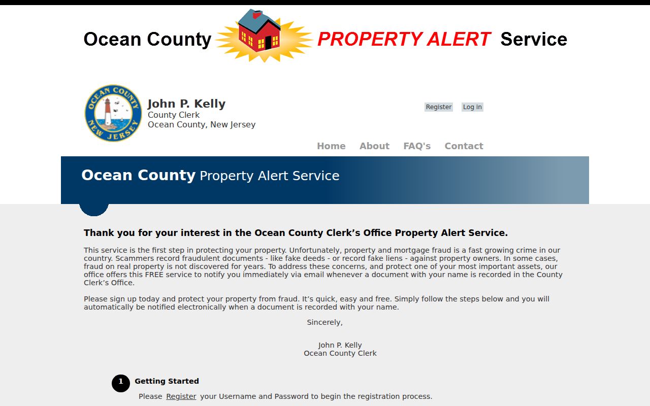
An alert can flag a later document for review. Compare any alert with the official recorded-document index and contact the published county or state fraud channels if a filing looks unfamiliar.
| Official block route | Commercial neighbor tools |
|---|---|
| Shows the custodian, parcel field, document date, and access limit for each record. | Can combine mixed sources, stale addresses, and same-name records without showing how each connection was made. |
| Lets a researcher keep geometry, owner, mailing field, and recorded party separate. | May merge relationships or addresses that require independent checking. |
| Uses the current custodian’s correction or privacy process when a record is wrong. | Provider removal applies to its listing and does not change the source record. |
Brick Township Neighbor Lookup Limits
Ordinary public block records do not reveal every person at an address. Non-owner occupants, household members, utility customers, delivery records, and motor-vehicle addresses are outside an ordinary public parcel list. New Jersey Open Public Records Act access is subject to exemptions and does not require a custodian to make a new list or perform general research. A precise request for an identified record is the appropriate fallback when no public search exists.
Address protections matter on every block. The New Jersey Address Confidentiality Program can provide a substitute address for eligible people. Daniel’s Law can protect covered officials and immediate household family. Owner names can also be redacted in statewide parcel data. Do not use a deed, map, mailing field, or association page to reconstruct an address that a protection program has shielded.
Lawful use. Brick Township neighbor records support personal, local-history, and civic research. Never use a parcel, voter, court, or community record to stalk, harass, intimidate, or harm another person.